
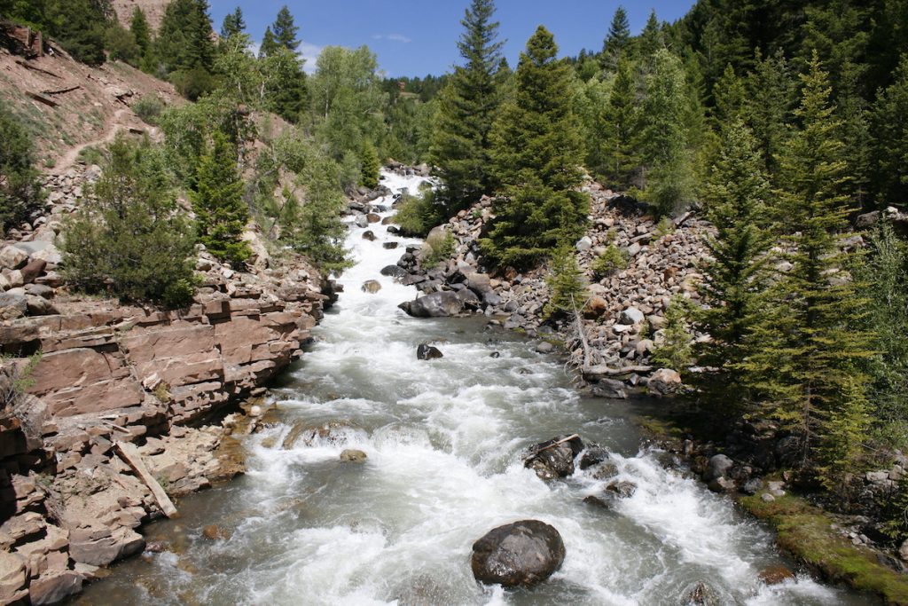
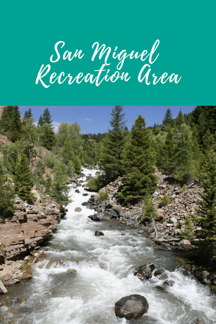
The drive from Telluride Colorado to the northwest of Uravan, Colorado can be accomplished in a little over an hour and a half, and if that is all the time you have to give it, you should go. But if you can spare longer, and stop along the way, you will have a chance to see much of what is also known as the San Miguel River Recreation Area.There are some access points along your drive where you can get up close to the San Miguel River for water and wildlife views, kayaking, rafting and fishing opportunities. It’s one of many freestone rivers in Colorado are not obstructed by dams. The San Miguel is beautiful and continually varying.
San Miguel Recreation Area, Telluride, CO
The route from Telluride to Uravan is via Colorado routes 145 and 141. The vast scenery along this drive will inspire you at every turn of your journey. As you travel this way, you pass through the communities of Sawpit, Placerville, Norwood, Redvale, Naturita / Nucla, and Uravan, as you parallel the course of the San Miguel River. Most noteworthy, the San Miguel River is a tributary of the Dolores River and is about 81 miles long. From the beautiful and mysterious San Juan Mountains near Telluride, the river flows alongside the slopes of the Uncompahgre Plateau.
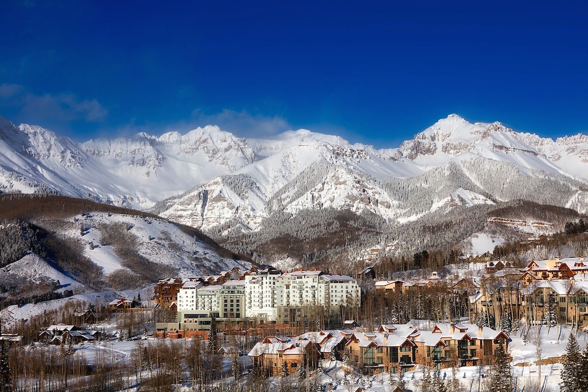
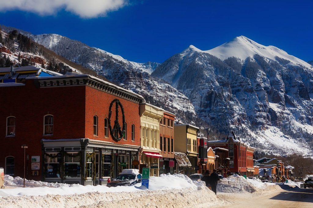
Telluride is famous for its skiing amenities and its former gold rush town vibe. Spend some time strolling and exploring the shops and galleries on Main Street. Ride the Telluride Mountain Village Tramway, enjoy the in-town hike up to beautiful Bear Falls, see Telluride Historical Museum, and consider a rafting trip on the San Miguel, originating here. Also, you’ll want to be to view Bridal Veil Falls, Colorado’s longest free-falling falls. The San Miguel River Trail follows the San Miguel River through the length of the town of Telluride. The river is a great place to hike or jog, offering excellent views of the box canyon.
Sawpit and Deep Creek
After your time in Telluride, head toward Sawpit on Colorado Route 145. About halfway between the two towns is the Deep Creek Boat Launch on the San Miguel River. Parking for river access is behind the Colorado Department of Transportation Deep Creek station. Sawpit has the distinction of being the fourth smallest incorporated town in Colorado. Small, but mighty, regarding scenic and human-made wonders. Sawpit began in 1892 as a stop on the Rio Grande Southern Railroad. Don’t breeze through it, stop at the 1920’s era general store, called the Sawpit Mercantile; stock up on gas, food, and what have you.
Placerville and Down Valley Park
Then continue to Placerville. Along with this stretch is the Down Valley Park offering river access. The park has a playground, baseball field, and bathrooms. For kayakers, there’s a pond that is a great place to practice your roll during the warmer months.
Placerville began as a mining camp, named for the placer mines established there. The town is a photographer’s paradise with its real old west charm. The storefronts along the road and the mine structures that dot the mountainsides are all waiting for you to enjoy. At Placerville, you are joining up with Colorado’s Unaweep-Tabeguache Scenic and Historic Byway, which will be your route till you arrive at the confluence with the Dolores River. Lemon Hot Spring is one of the features here. Discovered in the early 1900’s, the Lemon Hot Springs have been in continuous use ever since. The Angler Inn is a fourteen-room hotel with a great New American-style restaurant. Make sure you see the exciting and highly photogenic Hanging Flume along the Unaweep-Tabeguache Scenic and Historic Byway. The Placerville Boat Launch is a small pull-out that allows for San Miguel River access and small craft launching and take-out
Caddis Flats and Saltado Creek
Caddis Flats Boat Launch and Campground is a Bureau of Land Management facility located between the Unaweep-Tabeguache Scenic and Historic Byway and the San Miguel River. Alos, the canyon in this area makes the transition from forest to high desert and is very picturesque. Next, comes the Corral Site, affordable parking for river access. The Specie Creek Boat Launch is a day-use area with parking spaces. The upper beaver boat ramp and the lower beaver boat launch and campsite mark the end of the Specie Creek float area, and the beginning of the Norwood Canyon Ledges Run, on the changing river.
You will continue your drive through the Saltado Creek Area. The gravel here in the San Miguel River Valley was the location of many gold placer operations. You can still see gravel piles, and some old wood slices, reminders of placer mining along the river. The drama of river and rock formations is quite beautiful in this stretch of the road.
Norwood
Next, comes Norwood is a town of about 425 inhabitants, there is an excellent collection of vintage commercial buildings. The town was established in the 1880’s as a stage stop between Telluride and Uravan. Today it is mainly a ranching center. Hovering over Norwood is the peak of Lone Cone, reaching 12,000 feet above sea level. Built in 1898 and situated on Main Street is the Back Narrows Inn, where you can still stay there today. In addition, The Norwood Bridge Boat Launch offers limited river access parking. Continuing along, you will go through Huff Gulch, as the road continues to flirt with the San Miguel River; finally, you’ll come to a beautiful bridge crossing not long before you come to Redvale.
Redvale
Redvale began in 1910 as an orchard company, with orchards advertised and sold them to settlers.Unfortunately, the 7,000-foot elevation was not favorable for fruit cultivation. Therefore, the area then transitioned to general farming. After Redvale, you will drive to Naturita, a town dating back to 1882. Naturita’s name comes from the Spanish, meaning “little nature.” If you turn right on Colorado 97 here, you will almost immediately cross over the San Miguel River and have a good view of it here. Just off the main road is a secluded sister to Naturita: the town of Nucla. Founded in 1904 and incorporated in 1915. Today it counts about 700 inhabitants. Most inhabitants are associated with ranching ventures of one sort or another.
Uravan
Drive on toward Uravan, an abandoned uranium mining town, now a Superfund site. Once, as many as 800 people lived here, but Uravan became less occupied by the 1980s, and none of its former buildings remain. Several prehistoric sites are near Uravan: Dolores Cave (inhabited circa 600 BC to AD 1400) and Tabeguache Cave, a large rock shelter (occupied from circa AD 600 – 1500). The Ballpark, at the Uravan townsite, provides camping and recreation opportunities along the San Miguel River. The Rimrocker Historical Society, based out of Naturita, CO, maintains the park and its amenities. The park includes camping sites, port-o-potties, picnic tables, grills, large Rio Grande Cottonwood groves and access to the river.
Lastly, not far from Uravan, the San Miguel River has its confluence with the Dolores River. Most noteworthy, a fascinating view with the clear waters of the San Miguel and the muddy waters of the Dolores. Also, worth stopping to enjoy the view is the unmarked and unpaved overlook.
Do these breathtaking views and outdoor activities of the San Miguel Recreation Area sound right up your alley? Then start planning your trip to Colorado!


